Great Plains
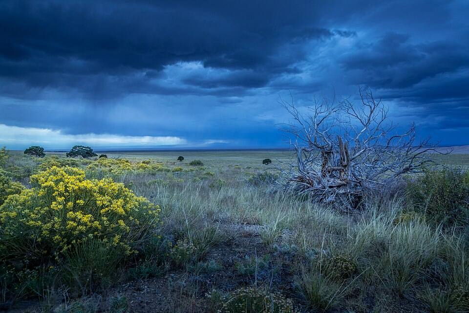
Blooming rabbitbrush on the Great Plains
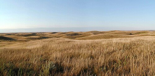
North Dakota primitive lush prairie
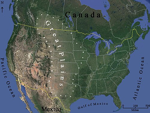
A satellite image illustrating the generalized distribution of the Great Plains. The exact boundaries may vary among contexts or disciplines (e.g. ecology, geology, geopolitical definitions).[1]
The Great Plains is a broad expanse of flatland in North America. The region stretches east of the Rocky Mountains, much of it covered in prairie, steppe, and grassland. They are the western part of the Interior Plains, which include the mixed grass prairie, the Tallgrass prairie between the Great Lakes and Appalachian Plateau, and the Taiga Plains and Boreal Plains ecozones in Northern Canada. "Great Plains", or Western Plains, is also the ecoregion of the Great Plains or the western portion of the Great Plains, some of which in the farthest west is known as the High Plains.
The Great Plains lie across both the Central United States and Western Canada, encompassing:
- Most or all of the U.S. states of Kansas, Nebraska, and North and South Dakota;
- Eastern parts of the U.S. states of Colorado, Montana, and Wyoming;
- Parts of the U.S. states of New Mexico, Oklahoma, Texas;
- Sometimes western parts of Iowa, Minnesota, and Missouri;
- The southern portions of the Canadian provinces of Alberta, Saskatchewan and Manitoba.
See PDF for complete article, downloaded:
Sunday, May 17, 2026 09:55AM