CASTLEMAINE GOLD PROJECT
Since its ASX listing in early 2017, Kalamazoo has continually investigated the acquisition of mineral assets with inherent potential that can be exploited by advanced exploration and development technologies. Following this strategy, Kalamazoo identified the highly prospective Bendigo Zone in Victoria as its key focus for securing an extensive and promising tenement position.
Kalamazoo’s Project Generation Team identified an opportunity to acquire the Castlemaine Gold Project at Castlemaine at minimal cost. Following which, the Company’s due diligence and technical assessment has confirmed Kalamazoo’s belief in the project’s significant potential.
Kalamazoo recognises the opportunity it has to cost effectively add modern exploration techniques at the Castlemaine Gold Project, to enhance its understanding of the structural controls of mineralisation that are critical to drill targeting and unlocking the true potential of this style of deposit.
The Castlemaine Gold Project is in a supportive mining region which is becoming increasingly active with significant exploration and development success across multiple projects including Fosterville, Tandarra and Costerfield (Figure 2).
Strategically, the Castlemaine region is well supported with a number of gold processing plants located within 80km haulage distance of the Castlemaine Gold Project.
Tenements
The Castlemaine Gold Project consists of three granted tenements for a total holding of 310km2.
Exploration Licence EL6679 was granted on 18 June 2018 and covers 70km2. It is valid for five years and has a minimum expenditure commitment of $148,500 over this period.
Exploration Licence EL6752 was granted on 10 July 2019 and covers 218km2. It is also valid for five years and has a minimum expenditure commitment of $303,900 over this period.
Exploration Licence EL7112 was granted on 3 July 2020 and covers 22km2. It is also valid for five years and has a minimum expenditure commitment of $98,100 over this period.
EL6679 lies immediately east and south of the town of Castlemaine and covers almost the entire historic Castlemaine Goldfield whilst EL6752 lies to the east and south of EL6679 and covers regional geological structures known to be associated with gold potential. EL7112 lies adjacent and to the east of EL6752.

Figure 3: Regional Geology, Structures, Gold Projects and Castlemaine Gold Project Tenements
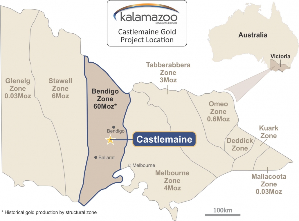
Figure 1: Castlemaine Gold Project Location

Figure 2: Central Victoria Gold Project Tenure