TIERRA DORADA GOLD PROJECT
PROPERTY & ACCESS
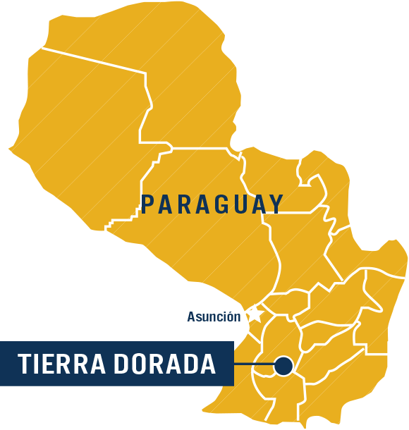
The nearly 64,000 hectare, road-accessible Tierra Dorada Project includes two separate property blocks of 34,566 and 29,288 hectares, situated 6 kilometres apart (Figure 1: Project and Target Overview). The city of Villa Florida is in the centre of the project at 80 metres above sea level. The topography is relatively flat, with scarce outcrop. Powerlines cross both properties.

GEOLOGY & EXPLORATION SUMMARY
For full details of exploration results, please refer to the original*[News Releases.]*
In southern Paraguay, the Precambrian basement of Lower Proterozoic age comprises a metamorphic suite of gneisses, metaquartzites, schists and iron formations of the Tebicuary Complex overlain by clastic sediments including conglomerates, sandstones and siltstones that have been subjected to low grade metamorphism (Paso Pindo Group). In the north, the Upper Proterozoic-Cambrian granites and granodiorites are associated with tuffs and rhyolitic flows. The Tierra Dorada project covers most of the area of the Tebicuary Complex of lower Proterozoic age (2,000 My), where the known gold mineralization has so far been detected.
The southern property block has been the focus of most of the historical exploration work in the area, with four main target areas delineated. In 2019, Golden Arrow commenced a regional mapping and sampling program throughout the property, as well as a more detailed program at the Alvaro target area.
At Alvaro, there are four showings of sub-outcropping quartz vein boulders and sub-outcropping structures within less than four kilometres of each other. Golden Arrow commenced its surface exploration program in late 2019, completing mapping, surface sampling and trenching at the showings. Highlights of the program include:
- Chip sampling at Showing 1 averaged 59.2 g/t Au in one of the structures and 34.6 g/t Au in another; Showing 4 returned a chip sample with over 47 g/t Au
- Results from trenches highlighted by: 89.5 g/t Au & 61 g/t Ag over 0.93 m, 143.40 g/t Au and 95.8 g/t Ag over 0.58 m in trench T-1
The first diamond drill program at Alvaro was initiated in late summer of 2020.
Three kilometres south of Alvaro, San Miguel has two parallel northeast trends approximately three kilometres in length, with iron rich laterites developed in quartzites and gneisses. Historic work at San Miguel included soil and rock sampling, and pan concentrate collection from stream sediments. Previous operators included The Anschutz Co. in the late 1970´s and early 1980´s, and Yamana Gold Inc. in the 1990´s. Yamana carried out trenching and drilled six shallow reverse circulation holes along the eastern trend defining gold mineralization in laterites. There is no public report available for this work, however drilling sections have been obtained showing geology and assays from four vertical holes up to 88 m deep.
Historic drilling highlights include:
- 6.1m @ 1.12 g/t Au, including 1.5m @ 3.32 g/t Au in SM-H3 starting at 12.2 metres depth
- 3.05m @ 2.87 g/t Au, including 1.5m @ 3.74 g/t Au in SM-H4 starting at 19.8 metres depth
- 4.57m @ 1.72 g/t Au, including 1.5m @ 2.85 g/t Au in SM-H5 starting at 9.2 metres depth
- 3.05m @ 1.35g/t Au, including 1.5m @3.6g/t Au in SMH6 starting at 27.5 metres depth
The other two targets, Itayuru and Cerro Pero, are located 9 and 14 kilometres to the SW of the San Miguel target, respectively. Historic sampling by Anschutz Co. and Paraguay Gold reportedly returned values ranging from -48 ppb Au up to 7.04 ppm Au in quartzites and 68 ppb Au up to 2,147 ppb Au in pan concentrate samples.
While the Company believes the preceding historical drilling and sampling data are reliable, readers are cautioned that a “qualified person” (as defined by National Instrument 43-101) has not yet completed sufficient work to be able to verify the historical information, and therefore the information should not be relied upon. All data was provided by the property vendor.