ATLAS PROJECT
Localisation
- 100% Tarku, acquired by project generation
- 89 claims, 4,870.49 ha
- 50 km east from Matagami
- Cree communities of Waswanipi (Category III lands), Eeyou Istchee James-Bay territory
- Year-round access via the Route 1055
Geological Context
Favourable context: Volcanogenic massive sulphides (Au-Zn-Ag-Cu VMS)
- Calc-alkaline intermediate to felsic volcaniclastic (tuff) sequence in contact with sedimentary rocks
- The northern and southern contacts of the sedimentary basincut the volcaniclastic units (possible faults)
- Little drilling in the area
- The same volcaniclastic units host the Indice Principale Olga Zone (Au-Ag-Cu) deposit
Observed metallotects related to the geological model
- Volcanic sequence similar to the Bousquet Formation (LaRonde mine: facies and geochemical affinity)
- Aluminous-type alteration similar to the Doyon-Bousquet-LaRonde district
- Contact between volcanic sequence and sedimentary rocks; volcanic hiatus, favourable VMS setting
- Similar context to the Indice principale, Olga Zonedeposit
- Presence of favourability targets (MERN) for VMS
- Gold values in the heavy mineral concentrate of till
- Concentration of gold grains in till
Atlas Project
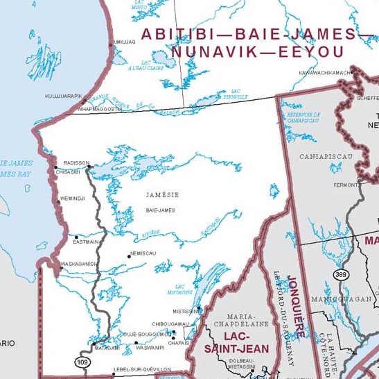
Location Map
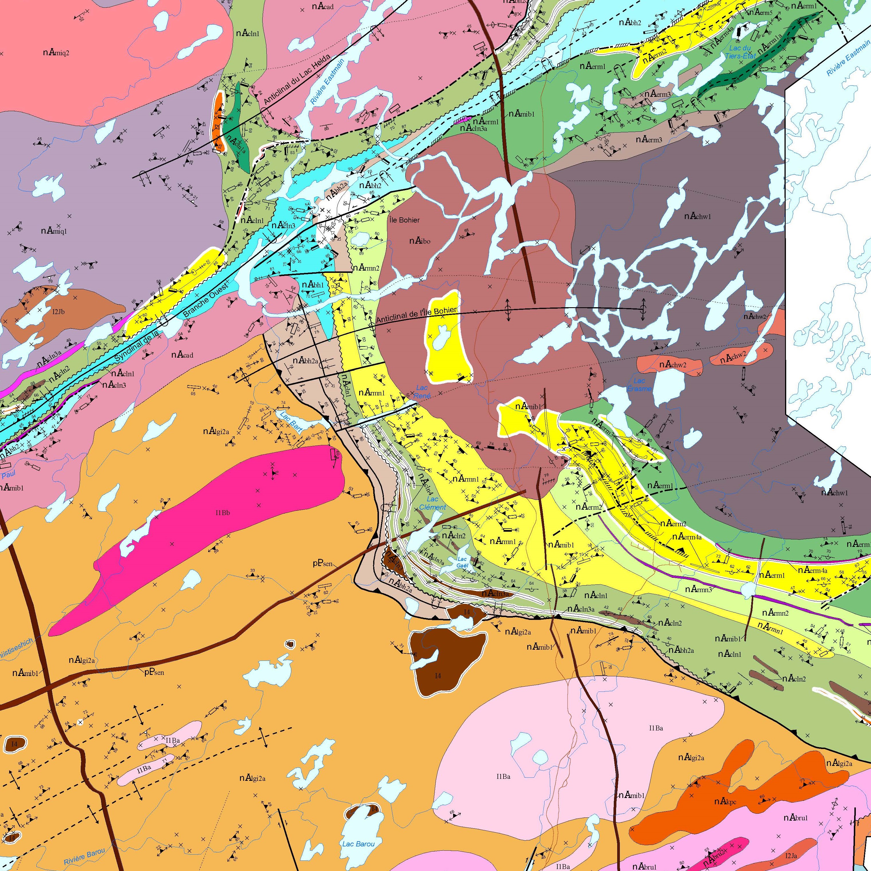
Geological Map
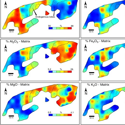
Alteration Map


